Phone : 0800 470 3410
Phone : 0800 470 3410
Tracking Planning/ Building Warrant Applications in North Ayrshire Using the GeoEnviron Contaminated Land Management System
Written with Willie McNish (Contaminated Land Officer) and Diana Buchanan (Administrative Assistant), North Ayrshire Council


Part IIA of the Environmental Protection Act 1990 was introduced by section 57 of the Environment Act 1995 and came into force in Scotland on 14 July 2000. The contaminated land regime placed a duty on local authorities, as the primary regulators, to identify and secure the remediation of contaminated land within their respective boundaries. Part IIA is based on the polluter pays principle and land is assessed in the context of the current use and circumstances of the land.
Interaction with Planning and Building Standards Regimes
Part 2A interacts with the planning regime to ensure that any change of land use is assessed to ensure that the land is fit for its proposed new use. In relation to planning decisions, land contamination may be regarded as a material consideration. Guidance to the authorities is set out in Planning Advice Note (PAN) 33 – Development of Contaminated Land (Revised October 2000), and PAN 51 – Planning and Environmental Protection.
In addition to the planning system, the Building Standards (Scotland) Regulations 1990 (made under the Building (Scotland) Act 1959) may require measures to be taken to protect the fabric of new buildings, and their future occupants, from the effects of contamination. Part G of the Technical Standards for Compliance (Preparation of Sites and Resistance to Moisture) gives guidance on these requirements.
To meet its statutory obligations under Part IIA to be rational, ordered and efficient, North Ayrshire Council required a system with the following components:
Within North Ayrshire Council (NAC) Environmental Health is responsible for implementing Part IIA and updated their existing system and purchased the GeoEnviron Contaminated Land Module with the MapEagle GIS Report Writer in March 2011 to assist in their duties.
Managing Spatial Datasets
One of the attractions to NAC of purchasing GeoEnviron was its capability and ease with which to create new spatial datasets and database records and cross reference these with existing ones. Potentially contaminative historical land uses within NAC’s GIS are based on a digital data set produced by Landmark. Through experience of working with the contaminated land, Planning and Building Standards regimes and their relationship to each other it was recognised that what was required was a system that could cross reference and track the process of any works carried out on a site of interest. NAC uses both the Site Investigation and Planning Sub-Modules within GeoEnviron to do this. Environmental Health work closely with colleagues in Development Management and Building Standards and NAC’s procedure is described below.
Weekly Planning and Building Warrant lists of all new applications are received from respective colleagues and the application site addresses are checked by Diana, as Administrative Assistant, against the Landmark potentially contaminated land spatial layer in Arcview.
Applications of interest (ie where a former potentially contaminative use coincides with the proposed new use) are further scrutinised by Willie, as Contaminated Land Officer, and a decision is made to request a formal consultation on it to study the details of the application further.
On formal consultation a decision is made as to what condition should be recommended to be applied to it (if any). If a condition is required Diana creates a new planning record in GeoEnviron and a corresponding site boundary in Arcview. The new planning record is then associated with the historical record in the site investigation sub-module to enable its progress to be tracked. This link enables easy cross reference between information entered ostensibly for Part 2A purposes and the information relating to the planning consultation.
One of the difficulties in tracking Planning and Building Standard sites is the length of time it can take to start or finish a development. Under current planning rules in Scotland developers have to start the work within three years of the granted permission but there is no time limit on completion. Under Building Standard rules the works should be completed by three years but a time extension can be granted up to an extra two years. It is therefore necessary to have a mechanism in place to track this.
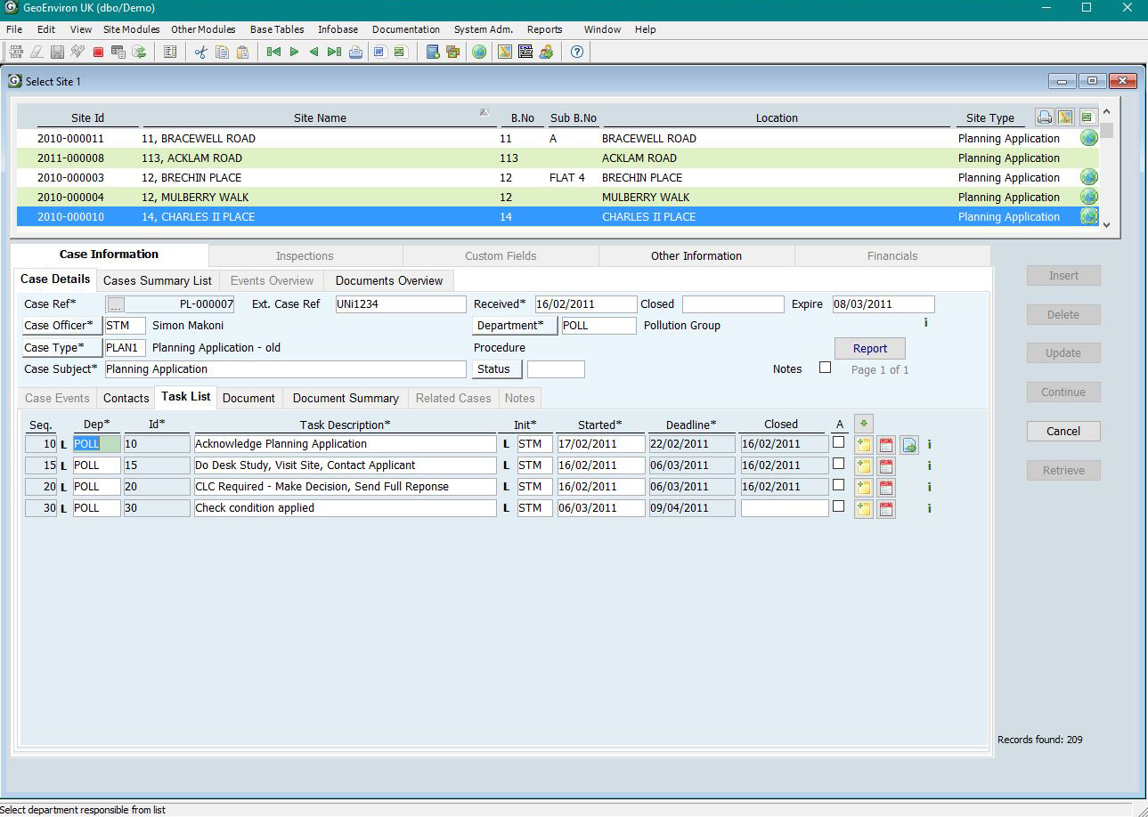
One of the features of GeoEnviron is a number of user-defined fields within the database which allow users to customise their own system. NAC uses one of these fields in the planning sub-module to record progress with recommended conditions under the field heading Condition. A drop down list accesses a range of codes and descriptions to suit NAC’s systems and working methods (e.g. Full SI & RA required, Planning Permission Expired etc). This is useful for a quick search for instance to identify the number of sites where there are outstanding site investigations.
Willie believes that it also important, however, to keep a track of progress by date. Prior to the purchase of GeoEnviron, Diana Buchanan, Administrative Assistant working with Willie on contaminated land, had designed an Access database that was used to collect information based on the Scottish Government’s non-statutory performance indicators. Much of this information, required in the earlier years of Part 2A, was collected by financial year. This data was imported into GeoEnviron and a series of customised reports were designed by STM Environmental. NAC can now run a number of automatic reports used to track and collate information eg how many sites are being developed and remediated through the planning system in any specific date period.
Diana runs various reports once a month e.g. to highlight outstanding reports or works which may initiate a reminder letter being sent out to a developer for further information. Most outstanding works or information is picked up this way.
Willie also works closely with Building Standards Officers. Building Warrant Completion Certificates are received for any remediation works that may have taken place and where reports are still outstanding Completion Certificates may be delayed until the requested information is provided.
The GeoEnviron Contaminated Land Management System is an excellent tool for local authorities to mange their work under Part 2A of the Environmental Protection Act 1990. This work cannot be seen in isolation, however, and most local authority contaminated land specialists concentrate their efforts on the planning regime, reviewing applications and ensuring that appropriate remediation is undertaken as part of the development process. The planning enforcement sub-module supplied as part of the GeoEnviron Contaminated Land Management System enables local authorities to fully track their planning work. Planning sites are easily linked to Part 2A sites in the site-investigated sub module creating a complete system for managing your contaminated land work whether its Part 2A or planning work. Seamless links to site boundaries in GIS make it easy to visualise sites and share information with other departments.
North Ayrshire’s contaminated land team take their work in the planning regime seriously. Having made recommendations to the planning department on a specific development they then keep track of its progress ensuring that appropriate investigations are undertaken and remedial action completed. The GeoEnviron Contaminated Land Management System gives them the tools to help them do that.