Phone : 0800 470 3410
Phone : 0800 470 3410
The Department for Environment, Food and Rural Affairs (Defra) has been conducting its annual Local Pollution Control Statistical Survey (LPCSS) since 1991. The questionnaire includes detailed questions about installation and inspection numbers and types, fees collected, the processing of applications, enforcement action and cost accounting. For many of the local authority permits officers that we have talked to, the annual task of completing the return is a huge undertaking with many hours or days being spent trying to collate all of the necessary data.
It is clear that having a comprehensive data management system in order to be able to properly record this information is a must and one of the reasons that Redcar and Cleveland Borough Council (RCBC) took up using the permitting module of the GeoEnviron data management system.
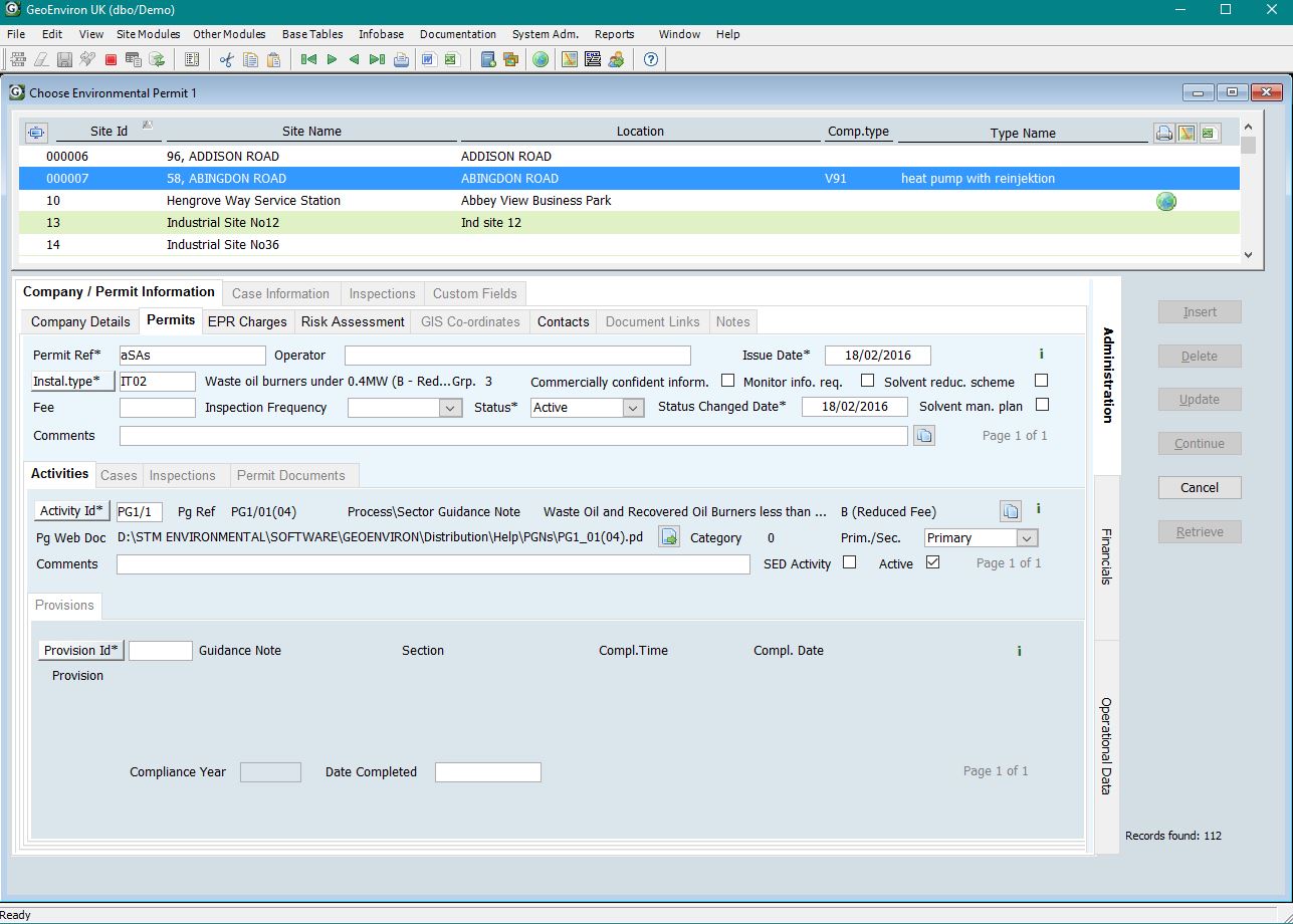
The GeoEnviron Environmental Permits Module was developed with Environmental Permitting in mind to enable the use of procedure driven inspection programmes, risk assessments and to ensure data relevant to the Defra return is stored in a readily retrievable way. The layout and inbuilt systems within GeoEnviron support Defra’s requirements for information control and reporting. The software helps officers undertake their inspections on time, complete their risk assessments and enter relevant data in an appropriate manner. The GeoEnviron system is also regularly updated and users have an input into what these changes will be and how the use of the system can be improved for them. Completing the Defra return with the minimum of fuss is then a natural consequence of a well-managed system.
Lyndsey Gill of RCBC has used the Environmental Permits Module for many years, although she started using the system in another local authority. She has found that the “system is easy to use and takes the headache out of completing the Defra annual statistical return”. As one of the longest users of the system, Lyndsey has played a crucial part in the progression and development of the GeoEnviron Environmental Permitting Module, with her feedback contributing to upgrades of the software.
The data management system is backed up by a complimentary piece of software known as the Statistical Report Generator. This is tailored annually to the needs of the Defra Return that year and automatically retrieves the required information from the Environmental Permitting Module to complete the return.
The main output from Statistical Return Generator is a Microsoft Word report that mimics the completed Defra return questionnaire. However, the Statistical Generator also produces a spreadsheet of more detailed supporting data broken down by question number. This two way approach makes it transparent where the information is coming from, both for the officer using the system and managers to see a detailed breakdown of the work completed over the year. Lyndsey states that “the Stats Generator has saved weeks of time when completing the annual return as it is all done through a simply run system which produces both word and excel documents detailing exactly where the figures have come from. These documents can be saved and it allows you to cross reference values when completing the next years return.” She goes on to say that “the Stats Generator can also be used to check that all officers are inputting the correct information and linking cases and inspections to installations. The system is very easy to use and makes the job of completing the return a whole lot less stressful.”
To ensure that officers are recording the information correctly within the system, a series or procedures have been incorporated that direct the officer to the next stage of work. The use of procedures also ensures that key information is not overlooked, such as officer time spent on each action and that all relevant actions are recorded appropriately.
“I have spent some time developing additional procedures for the permitting module and find that they are very useful in aiding officers, who may not be totally familiar with Environmental Permitting procedures in completing tasks such as new applications, transfers etc, as it is able to provide small step by step tasks and events so that no part of the whole procedure is missed out. Producing new procedures for the system is also easy to use and develop” says Lyndsey.
Another important part of the GeoEnviron Environmental Permitting Module is the risk assessment ability of the system. This crucial aspect of the software allows you to plan the next programmed inspection after you have inputted the last one. “We use this function to produce the annual inspection programme at the beginning of each financial year which saves time having to trawl through all permitted processes and check if they are due a routine inspection” Lyndsey states.
The cost accounting system within GeoEnviron also allows you to quickly extract information required on the Defra return. Officers are required to input how long a task/inspection has taken them and this can be easily extracted through the reports function within the system. During times of cost saving for Local Authorities, the cost accounting function allows you to ascertain how much time and money is spent on Environmental Permitting.
Lyndsey also highlighted the added value of being able to link GeoEnviron into her GIS, resulting in an efficient way to locate sites straight from looking at the record in the database. “The GIS integration is a brilliant tool as it allows you to easily locate a permitted process on a mapping system, where you can then measure proximity to receptors and produce maps for inclusion into permits.” With integration possible to ArcMap, MapInfo, GGP and Cadcorp, as well as QGIS in the near future, most authorities across the country would also be able to gain this useful advantage through the use of GeoEnviron.
In addition to the features already identified, Lyndsey highlighted the following features of the system as being very useful for completing her work:
Lyndsey wanted to remind everyone that “they will get out what they put into the system, if the information you input is incorrect then the resulting information you get out will also be incorrect”. This is true of any data management system and therefore ways of reducing incorrect data entry are essential. Through the use of procedures and training of GeoEnviron, the system is designed to guide users through the process of recording the information they need, to make the generation of the statistical return a simple and complete process. Finally, Lyndsey wanted to add that “At first the system may appear complex to use, but through continued use, the system is very straightforward and logical.”
The GeoEnviron Environmental Permitting Module has been specifically designed to produce information in a format required by Government departments and is continually developed with the input of users of the system. Through the use of procedure driven inspection programmes and risk assessments, it ensures data relevant to the Defra return is stored in a readily retrievable way. Combined with the Statistical Return Generator, the result is a “system is easy to use and takes the headache out of completing the Defra annual statistical return”.
Redcar and Cleveland Borough Council’s Lyndsey Gill has utilised the system to a great extent, enabling her to simply generate the Defra statistical return and relieving a huge amount of stress that would otherwise be placed on her each year. In addition to the return, she has confidence in knowing that the information is being stored appropriately and is easily accessible when it is needed, saving time and resources.
During times of cost saving for Local Authorities, a data management system that increases efficiency and reduces complications is crucial for every local authority. In this respect, Redcar’s forward thinking and proactive approach for managing their environmental permitting information has benefited them greatly, allowing officers to spend the time on the more important aspects of the work and be safe in the knowledge that their data always fit for purpose.